Spatial analysis provides a powerful framework for understanding and interpreting complex spatial relationships. By harnessing the potential of spatial data, patterns, and modeling techniques, it facilitates evidence-based decision-making, resource optimization, early warning systems, and so much more. Its interdisciplinary nature and ability to visualize data in geographic contexts make it an essential tool for addressing various challenges and creating sustainable, resilient, and equitable solutions. Want to learn more? Check out the resources below.
Course
Asynchronous Course
Interested in learning more about spatial analytics for atrocity prevention? This modular, asynchronous course is intended to introduce early warning and early action (EW/EA) practitioners, decision-makers, and humanitarian actors to spatial analytics and its use for conflict and atrocity prevention work.
Enroll now
Documents
The Language of Spatial Analysis
An interactive handbook that establishes a foundation for thinking spatially, developed by ESRI.
View document
Field Guide to Humanitarian Mapping
This modular guidebook, developed by MapAction, outlines how to use Google Earth and Quantum GIS and also indicates how GPS can be used for data collection.
View Document
Webinars, lectures, and courses
Advancing the Use of GIS in Peacebuilding
How can GIS tools and methods enhance peacebuilding? This webinar delves into this question and others. It was hosted at the Emerging Technologies in Peacebuilding and Prevention Virtual Practitioners Workshop in 2021.
Enhancing Peacebuilding Through GIS
A practical discussion hosted by PIND about how GIS can be used for peacebuilding and conflict prevention applications
View recording
Data, Maps, and Spatial Analysis for Conflict and Atrocity Prevention
A webinar hosted by the Signal Program on Human Security and Technology that discusses the challenges and potential of data and maps for conflict and atrocity prevention
View recording
ESRI Massive Open Online Courses
Discover a host of ESRI Massive Open Online Courses (MOOCs) that enable you to gain spatial analysis skills.
View courses
The Technical Feasibility of Conflict Prediction for Anticipatory Action
A webinar hosted by UN OCHA’s Centre for Humanitarian Data. This discussion considers the use of conflict prediction for anticipatory action
View recordingWEBSITES
Humanitarian GIS Hub
An ESRI website to explore how GIS solutions have been and can be used for humanitarian research and response.
View website
GIS for Peace
GIS for Peace is a community engagement platform meant to accelerate the uptake of GIS by peacebuilders. The platform features spatial datasets, tools, applications, and examples of how GIS solutions can be leveraged towards peace.
View website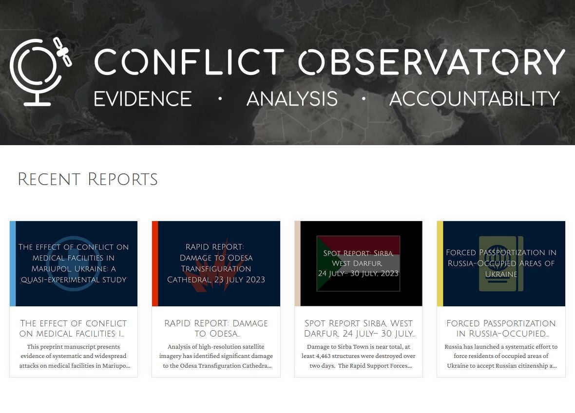
Conflict Observatory
Explore how the Conflict Observatory fuses satellite imagery analysis and open-source investigation techniques to document war crimes, mass atrocities, and other abuses of power.
View websiteACADEMIC PUBLICATIONS
A Review and Assessment of Spatial Analysis and Conflict: The Geography of War
Raleigh C et al., n.d | As conflict analyses increasingly incorporate geography as a variable, it is important to examine pre-existing biases and assumptions to ensure that the role of geography is accurately represented. This book chapter does just that and examines the role of GIS tools and methods in conflict analysis.
Introducing the Spatial Conflict Dynamics indicator of political violence
Walther O et al., 2020 | While conflict is known to vary in time in space, it remains a relatively understudied phenomenon. This article seeks to understand how the intensity and distribution of political violence can be understood in North and West Africa to demonstrate how the geography of conflict can change over time.
Predicting Conflict in Space and Time
Weidmann N and Ward M, 2010 | How do geography and time influence political violence? This analysis demonstrates that both these variables are important in the prediction of future conflict, as exemplified in the case of Bosnia between 1992 and 1995.
Space-Time Cube Approach in Analysing Conflicts in Africa
Osman A et al., 2023 | This analysis demonstrates the value of using three-dimensional space-time cubes to analyze conflict to better understand consecutive, sporadic, oscillating, and new violent hotspots.
Spatial Analysis in Political Geography
Linke A and O’Loughlin J, 2016 | This study uses spatial analysis to understand spatial dependencies in aggregated violent events and public opinion in the North Caucasus of Russia.
Sub‐National Violent Conflict Forecasts for Sub‐Saharan Africa, 2015‐2065, Using Climate‐Sensitive Models
Witmer F D W et al., 2017 | How will climate change impact conflict dynamics? This study develops climate-sensitive models to forecast violent conflict in Sub-Saharan Africa.